
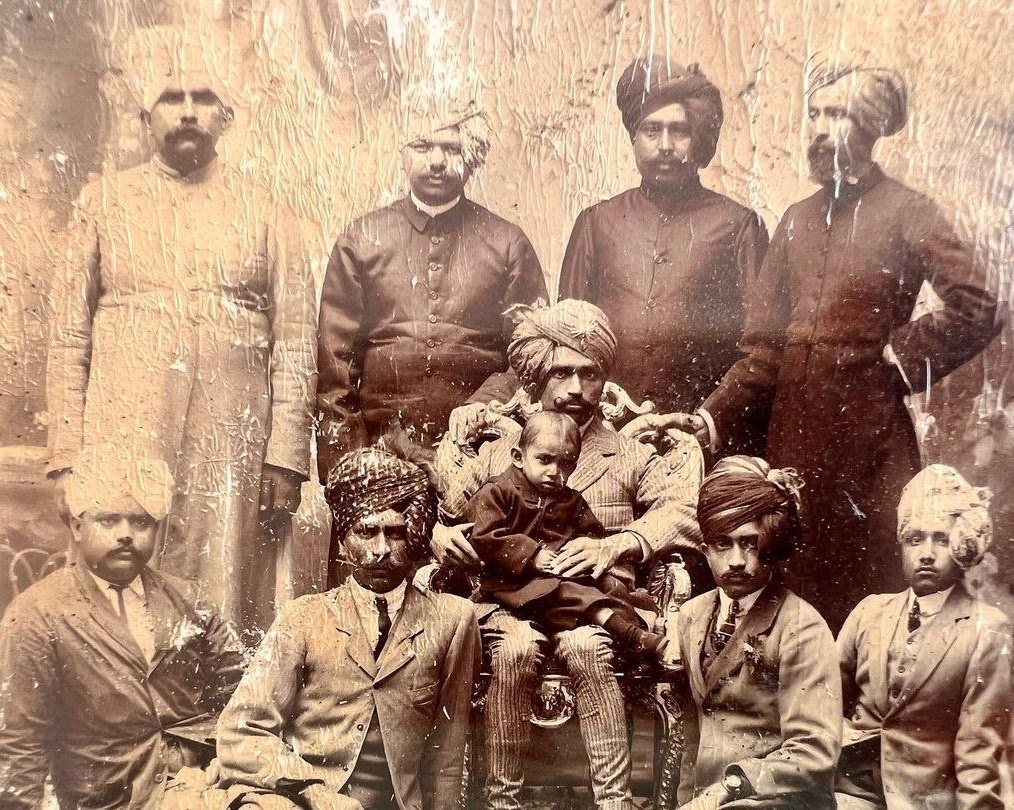
Narsinghgarh State – A Historic Central Indian Principality
Narsinghgarh State was an important princely state in Central India, located under the Bhopal Agency during British rule. Rich in history, royal heritage, and cultural significance, Narsinghgarh played a crucial role in the political landscape of the Malwa region.
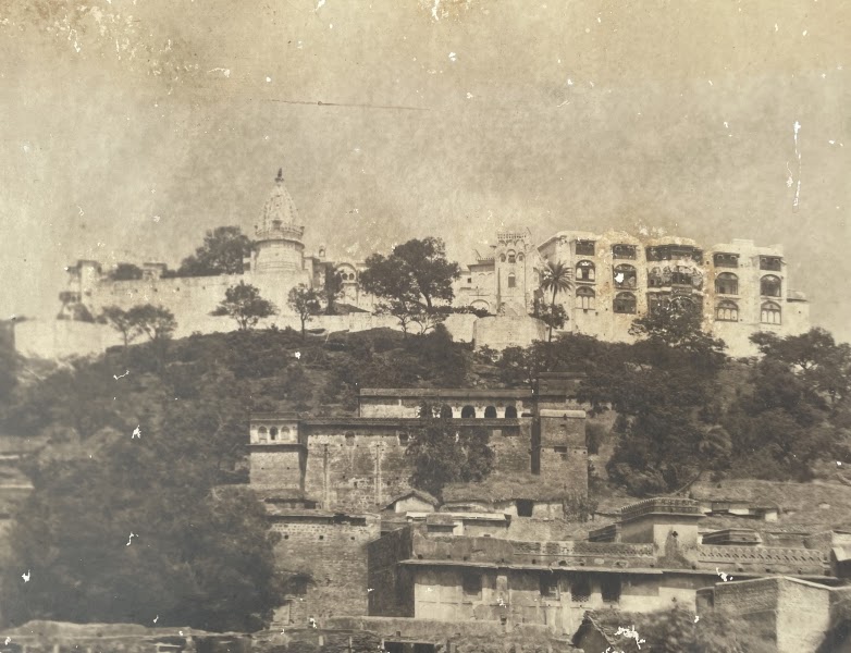
Situated between 23°35′ to 24° North latitude and 76°20′ to 77°10′ East longitude, the state covered an area of approximately 741 square miles. It was part of the Malwa plateau region, specifically an area known as Umatwara, named after the Umat Rajput clan, to which the rulers of Narsinghgarh belonged.
Geographical Location and Boundaries
Narsinghgarh State was surrounded by several important princely territories:
- North: Indore, Khilchipur, and Rajgarh
- East: Maksudangarh and Bhopal
- West: Dewas and Gwalior
- South: Bhopal and Gwalior
The region shared a deep historical connection with Rajgarh State, as both ruling families were descendants of a common lineage.
Origin and Establishment of Narsinghgarh State
The origins of Narsinghgarh trace back to the 17th century, when internal conflicts led to the division of the Rajgarh State. The rulers of both regions were descendants of Dudaji, the younger brother of Udaijat of Rajgarh.
In 1661, Rawat Mohan Singh ascended the throne of Rajgarh as a minor. During his early reign, administration was handled by his cousin Ajab Singh from the Dudawat branch, followed by Ajab Singh’s son Paras Ram. However, disputes between the ruling family and the Diwan’s faction led to political instability.
By 1668, tensions escalated, resulting in the division of the state between two branches of the family. Initially, governance remained mixed across villages, but by 1681, clear territorial boundaries were established.
It was during this time that Paras Ram left Patan and founded the city and state of Narsinghgarh, marking the beginning of a new princely identity.
Relations with Marathas and British Rule
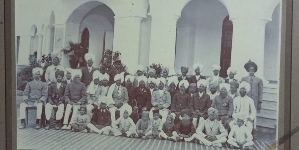
During the 18th century, Narsinghgarh came under the influence of the Marathas. The rulers were compelled to acknowledge Maratha supremacy and entered into agreements with the Holkars, paying an annual tribute of approximately ₹85,000 (Salim Shahi currency) to maintain their autonomy.
In 1818, following the settlement of Malwa by Sir John Malcolm, an agreement was established between the Narsinghgarh chief and neighboring states like Indore, Dewas, and Gwalior. This ensured regular tribute payments and resolved territorial claims.
Political Developments and Rulers
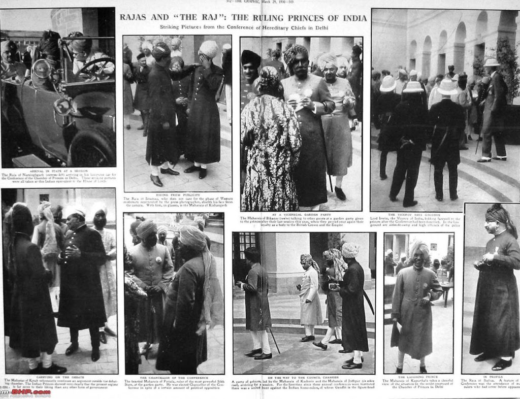
In 1819, Diwan Subhag Singh became mentally unfit, and administration was transferred to his son Chain Singh. However, due to conflicts with the British political agent, Chain Singh attacked British forces in Sehore and was killed in 1824.
After his death, Subhag Singh resumed control. He was later succeeded by Hanwant Singh, who in 1872 received the hereditary title of Raja along with an 11-gun salute, signifying royal recognition.
Upon Hanwant Singh’s death in 1873, his successor Pratap Singh faced demands for tribute from the Holkars, but the British government rejected these claims. Pratap Singh introduced reforms such as abolishing transit duties and contributing to infrastructure development, including road construction.
In 1896, Arjun Singh became the ruler, selected by the British government. He was educated at Mayo College, Ajmer, and held the title of Raja with an 11-gun salute.
Population and Society
The population of Narsinghgarh State showed fluctuations over time:
- 1881: 112,437
- 1891: 116,280
- 1901: 92,093
The decline in population was largely due to the severe famine of 1899–1900, which reduced the population by nearly 20%.
Religious Composition:
- Hindus: Majority
- Animists (including Bhils): Around 5%
- Muslims: Around 4%
The state had:
- 1 main town: Narsinghgarh (population 8,778 in 1901)
- 461 villages
The commonly spoken language was Malvi, a dialect of Rajasthani.
Agriculture and Land Use
Agriculture was the backbone of the state’s economy, supporting about 45% of the population. The region was known for its fertile black soil, typical of the Malwa plateau.
Land Distribution:
- Cultivated land: 37%
- Cultivable but unused: 51%
- Forest: Minimal
- Remaining: Waste land
Major Crops:
- Jowar (dominant crop)
- Cotton
- Wheat
- Maize
- Gram
- Poppy
Revenue and Economy
The total annual revenue of the state was around ₹5 lakh, with major income sources including:
- Land revenue
- Customs duties
- Excise
- Opium
Expenditure was mainly on:
- Administration
- Royal establishment
- Tribute payments
Land revenue rates were determined based on soil quality, with higher rates for irrigated land.
Transport and Communication
The state had a network of important roads connecting it to nearby regions, including:
- Agra–Bombay Road
- Biaora–Sehore Road
- Pachor–Khujner Route
- Shujalpur–Pachor Road
These roads covered approximately 55 miles, maintained partly by the British and partly by the state.
Communication Facilities:
- Post and telegraph offices in Narsinghgarh and Pachor
- Branch post offices in Khujner and Chhapera
Administration
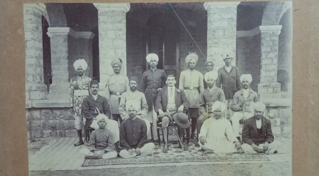
For administrative purposes, the state was divided into four tehsils:
- Narsinghgarh
- Pachor
- Khujner
- Chhapera
Each was managed by a tehsildar, responsible for revenue collection and judicial duties. The ruler held supreme authority in civil and revenue matters, while serious criminal cases were handled by the British political agent.
Military
The military force included:
- A cavalry unit called Umat Risala (40 horsemen)
- Infantry units
- Artillery with 23 gunners and a functional cannon
Irregular forces served as police and messengers.
Education and Healthcare
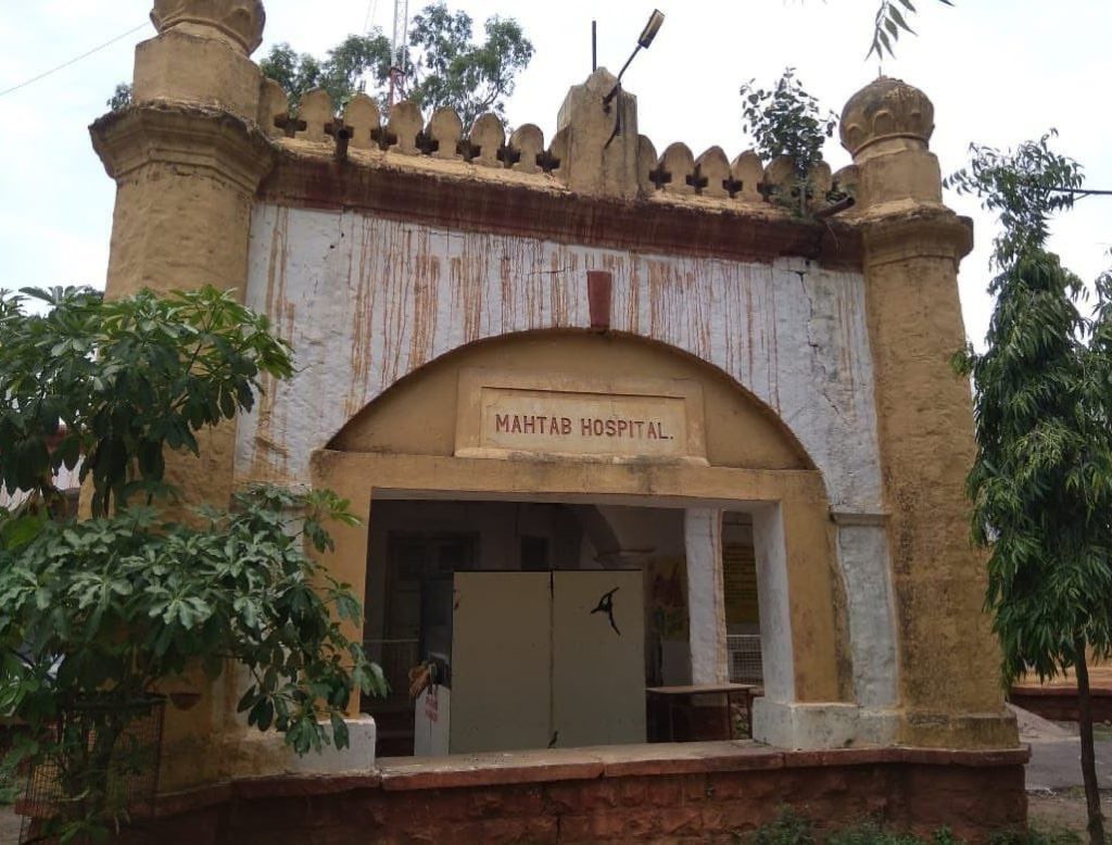
The state had:
- 8 schools with 529 students
- Annual education expenditure: ₹3,000
Literacy levels were modest but improving. Healthcare facilities included:
- 4 dispensaries
- Regular vaccination programs
Narsinghgarh Town
The capital city, Narsinghgarh, was founded in 1681 by Paras Ram. Located at an elevation of 1,650 feet above sea level, it was beautifully situated beside an artificial lake.
The town featured:
- A fort and palace on elevated ground
- A school, jail, and dispensary
- Post and telegraph office
Its scenic setting, surrounded by hills and water, made it one of the most picturesque towns in Central India.
Conclusion
Narsinghgarh State stands as a remarkable example of a historic princely state in Central India, blending royal heritage, political evolution, and cultural richness. From its Rajput origins and Maratha alliances to British-era administration, the state played a significant role in shaping the region’s history.
Today, the legacy of Narsinghgarh continues through its forts, temples, and natural beauty, making it a fascinating destination for history lovers and travelers alike.

